Home »

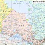
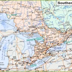
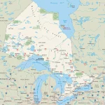
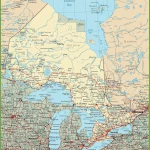
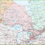
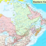
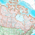
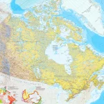
Where is Ontario?
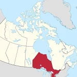
Located in eastern Canada, Ontario is the second-largest province by area and the most populous in the country. It borders four of the five Great Lakes – Superior, Huron, Erie, and Ontario – making it a destination known for its stunning waterfronts and picturesque landscapes.