map

Home » map

The Yukon Highway Map: Navigating the Northern Wilderness

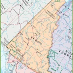
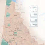
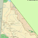
This map shows highways in the Yukon.

This detailed map provides a comprehensive view of the Yukon’s highways, main roads, secondary roads, and key natural features such as rivers, lakes, and national parks. With its user-friendly layout and easy-to-read design, the Yukon Highway Map is indispensable for anyone planning a road trip or exploring the territory’s many outdoor adventures.
Home » map

Discover the Best of the Northwest Territories with a Tourist Map

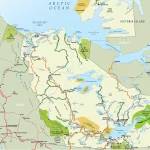
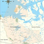
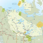
This map shows cities, towns, rivers, lakes, heritage rivers, Trans-Canada trail, paved surface, unpaved surface, dempster highways, canol hiking routes, Ingraham trails, liard trails, frontier trails, great slave routes, waterfalls routes, wood buffalo routes, ferries, historical sites, day use parks, national parks, diamond mines, and visitor information centers.