Home »

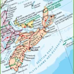
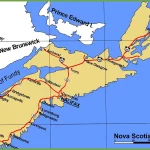
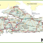
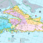
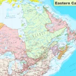
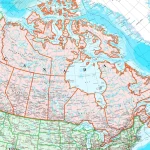
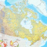
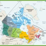
Where is Nova Scotia?
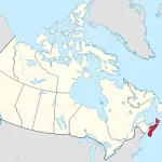
Nova Scotia, located on the eastern coast of Canada, is not only known for its stunning landscapes and natural beauty but also for its rich history and vibrant culture. The province has a fascinating past that dates back centuries, shaped by Indigenous peoples, European settlers, and African Nova Scotians.