Home »

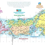
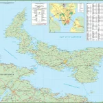
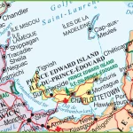
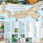
Where is Saskatchewan?
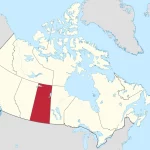
Saskatchewan, located in the heart of Canada, boasts a diverse geography and climate that sets it apart from other provinces. With its vast prairies, rolling hills, and shimmering lakes, Saskatchewan offers stunning landscapes that captivate nature lovers.