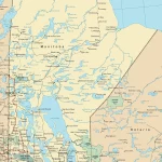
Home »

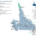
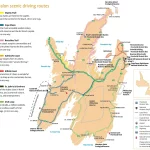
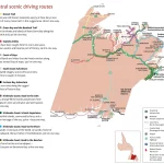
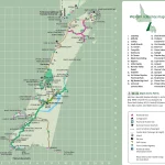
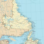
Navigate Your Way through the Yukon with Our Detailed Road Map
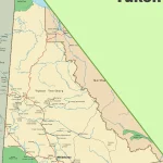
This map shows Yukon’s cities, towns, highways, main roads, secondary roads, rivers, lakes, national parks, and provincial parks.