Home »

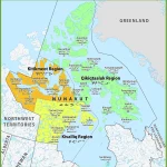
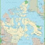
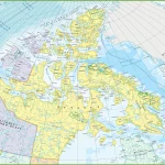
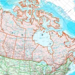
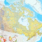
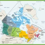
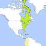
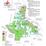
Where is Nunavut?
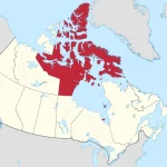
Nunavut, located in the northernmost part of Canada, has a rich history and background that is deeply intertwined with its unique geographic location. The region was traditionally inhabited by Indigenous peoples, including the Inuit, who have called this land home for thousands of years.