Home »

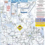
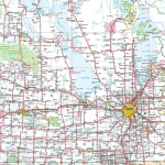
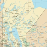
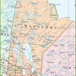
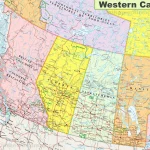
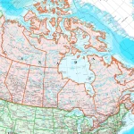
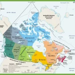
Where is Manitoba?
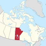
With its rich history, stunning landscapes, and vibrant cities, Manitoba is a hidden gem that deserves to be on every traveler’s radar. Located in the heart of Canada, this prairie province offers an abundance of unique experiences and breathtaking sights that will leave you wanting more.