Home »

Where are the Northwest Territories?
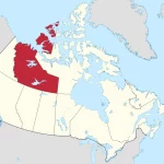
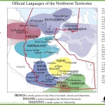
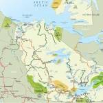
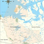
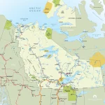
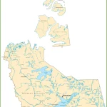
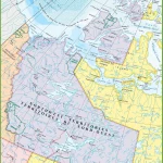
The Northwest Territories, covering an area of approximately 1,346,106 square kilometers, is located in northern Canada. It shares borders with Nunavut to the east and Saskatchewan, Alberta, and British Columbia to the south. To the west lies Yukon, while the Arctic Ocean lies to the north.