Home »

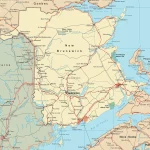
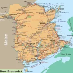
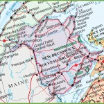
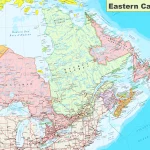
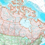
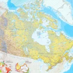
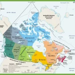
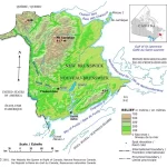
Where is New Brunswick?
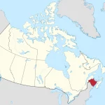
Nestled in the northeastern part of North America, New Brunswick is a captivating province that forms an integral part of Canada. Bordered by Quebec to the north, Nova Scotia to the east, and Maine in the United States to the west, this beautiful region boasts diverse landscapes that are sure to take your breath away.