Home » national parks »

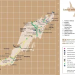
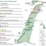
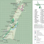
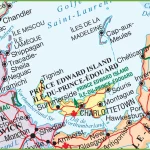
Discover Eastern Newfoundland’s Natural Beauty with this Scenic Driving Route Map
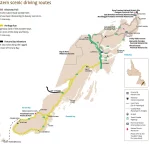
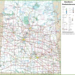
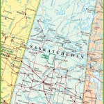
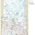
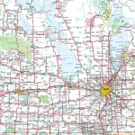
This map shows cities, towns, trails, Trans-Canada highways, secondary roads, national parks, provincial parks, provincial visitor information centers, provincial/national historic sites, ferries, airports, and natural scenic attractions in Eastern Newfoundland.