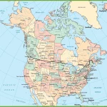
Home » Maps »

Discover Quebec’s Beauty: A Map of Cities, Towns, and National Parks
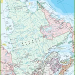
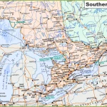
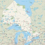
This map shows Quebec’s cities, towns, rivers, lakes, the Trans-Canada highway, major highways, secondary roads, winter roads, railways, and national parks.