Home » Map Resources »

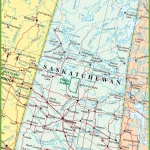
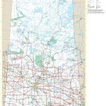
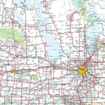
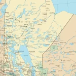
Discover Saskatchewan’s Highways with the Ultimate Road Map
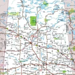
This map shows Saskatchewan’s cities, towns, highways, main roads, and secondary roads.